Satellite Finder Guide: Meter vs App for Aiming Your Dish
A handheld meter reads the signal on the cable, while a phone app shows where to point. This guide compares both and walks through azimuth, elevation and skew.
The Folio & Current Team
November 13, 2026 · 6 min read
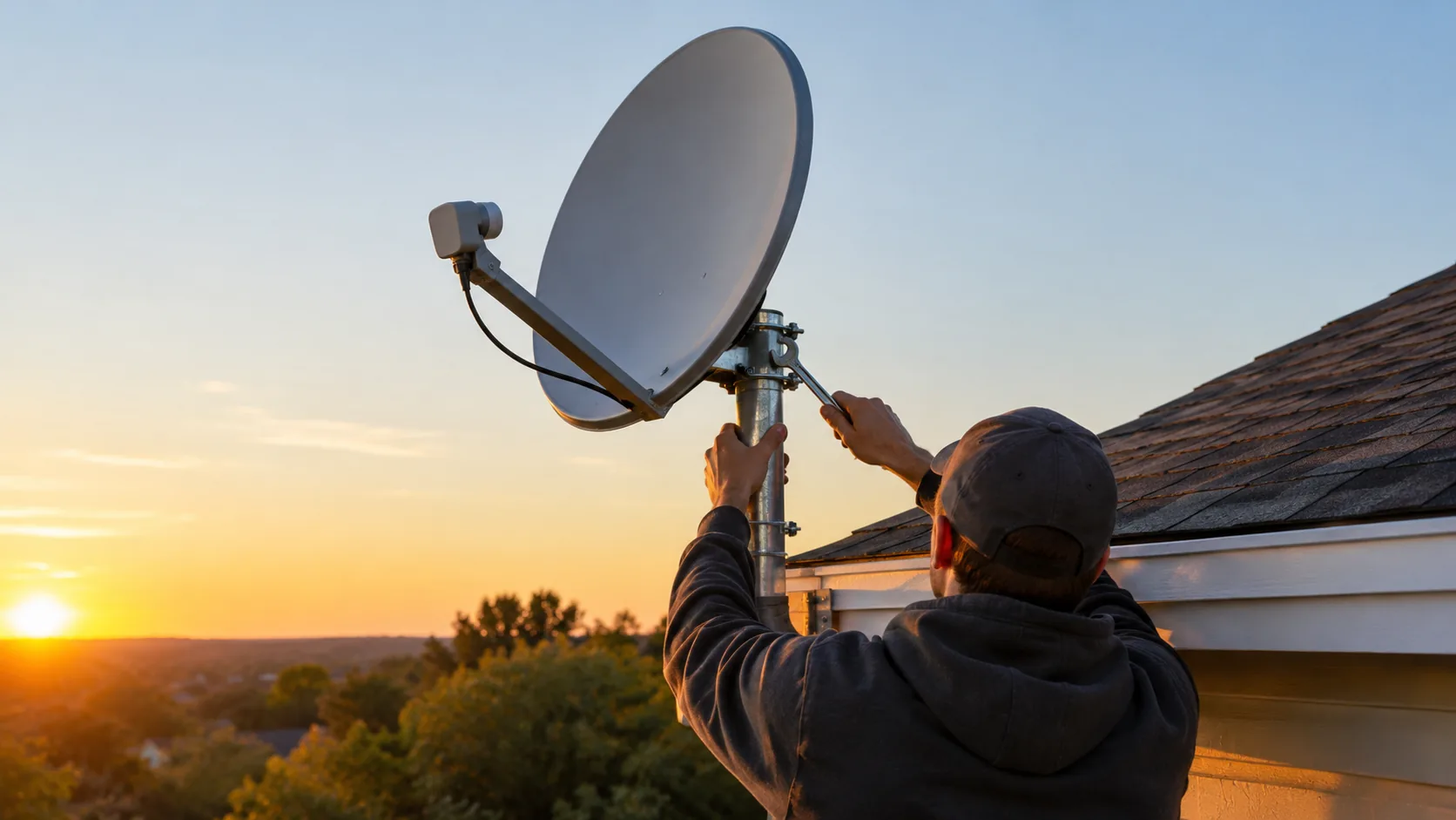
A finder satellite tool is either a handheld signal meter or a phone app, and both help you point a dish at the right spot in the sky. A meter connects to the cable and reads the signal itself, while an app uses your phone's compass, GPS and tilt sensor to show the angles to set. Use the angles to get close, then use a meter reading to fine-tune.
This guide compares the two approaches in a table, explains azimuth, elevation and skew, and gives a step-by-step aiming routine you can follow on a roof, at an RV site or on a boat deck.
Finder satellite options: meter vs phone app
The two tools answer different questions. An app tells you where the satellite should be from your location. A meter tells you whether the dish is actually receiving a signal from it.
| Feature | Handheld signal meter | Phone app |
|---|---|---|
| What it reads | The signal arriving on the cable from the LNB | Your phone's compass, GPS position and tilt |
| Connection | Inline between LNB and receiver | None to the dish |
| Output | On-screen reading and often an audible tone | Angles, a map or a camera overlay |
| Confirms the satellite | Some models show a satellite ID | No, it only estimates direction |
| Extra gear | Signal cable, a power source such as a battery | Your phone only |
| Affected by | Wrong settings, a loose cable, a blocked path | Compass interference from metal and nearby electronics |
| Privacy | No location sharing | Check the permissions and data-sharing notes |
Satellite finder apps are useful for planning: they show which side of the house has a clear view and roughly how high the dish must tilt. They cannot see the signal, so a dish that looks right on the phone can still miss the satellite by a few degrees.
Check app permissions first
Many apps ask for your location and camera. Read the store listing's notes on what data is shared with third parties, and deny permissions the app does not need to calculate angles. If you want to know how location positioning works, our GPS explainer covers how handheld units find you.
Azimuth, elevation and skew in plain terms
Every dish aim comes down to three numbers for your address and your chosen satellite.
- Azimuth is the compass direction to turn the dish, measured clockwise from north.
- Elevation is the tilt angle above the horizon.
- Skew is the small rotation of the LNB around its own axis so it lines up with the signal's polarization.
Azimuth is often given as a magnetic bearing for use with a compass, so confirm whether your source lists true or magnetic north. Steel roofs, vehicles and mounting poles can pull a compass off, so stand a few feet from the dish when you take a bearing.
Skew is the setting most often skipped. Take the value from your pointing chart or app, then rotate the LNB by that amount on its bracket.
Using a handheld meter between the LNB and receiver
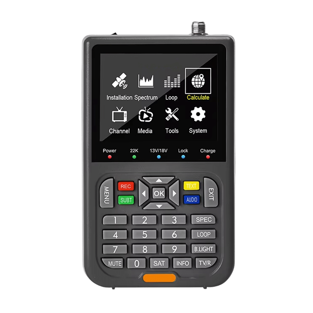
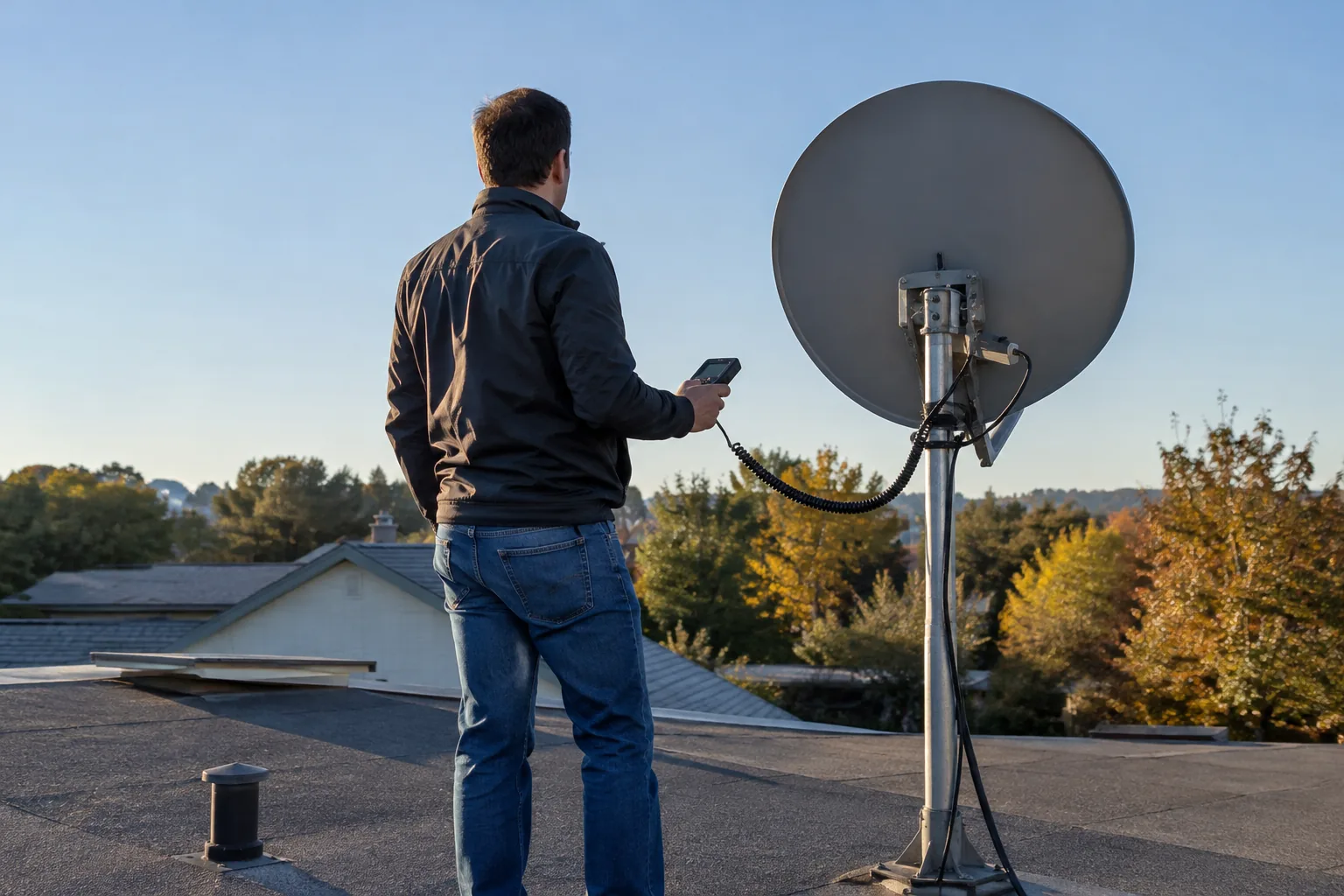
A meter is the tool that confirms the dish is on target. The SkyPointe Pro is a handheld satellite finder that connects inline between the LNB and receiver. It shows a digital signal reading on a backlit screen and plays an audible tone that changes as you adjust the dish, so you can watch and listen at the same time.
You choose a satellite from its preset list, or enter custom coordinates, and it calculates the AZ and EL angles for that satellite. It offers four scan modes: Auto, Blind, Manual and NIT. NIT scan reads network information, and the screen shows the satellite ID so you can check which satellite you are on.
It has a reinforced housing, a rechargeable battery with Type-C charging, and comes with a user manual, signal cable and carry backpack.
 In this guideSkyPointe Pro$169.99View
How to aim a dish step by step
Follow your dish and receiver manual throughout. Turn off or unplug the receiver before you disconnect or reconnect cables, and ask a professional if the install location involves a steep roof or a ladder you are not comfortable using.
1. Pick the satellite and find your angles
Choose the satellite your service uses. Use an app, a pointing chart or the finder's preset list to get your azimuth, elevation and skew for your location.
2. Check the view
The path to the satellite must be clear. Trees, eaves and neighboring buildings can block it, and a branch that is barely in the way now can grow into it later.
3. Connect the meter
Disconnect the cable from the receiver, then connect the finder inline between the LNB and receiver using the signal cable. Power the finder and select your satellite or enter custom coordinates.
4. Set the rough angles
Loosen the mount bolts just enough to move the dish by hand. Set the elevation on the mount scale and turn the dish toward the azimuth bearing. Set the skew on the LNB bracket.
5. Sweep slowly
Move the dish in small steps and pause between each. Signal readings lag slightly behind your movement, so a fast sweep can slide past the satellite. Sweep left and right first, then adjust elevation by a small amount and sweep again.
6. Peak the signal and confirm the ID
When the reading rises and the tone changes, stop and fine-tune until the reading is at its highest. Check the satellite ID on the screen to be sure you are on the intended satellite and not a neighbor.
7. Lock it down
Tighten the bolts a little at a time, alternating sides, and recheck the reading as you go, since tightening can shift the dish. Then reconnect the receiver and confirm the picture.
Field note
Mark the mast and mount scale with tape or a pencil line before you loosen anything. If the sweep goes wrong, you can return to your starting position instead of guessing.
Common mistakes when you align your dish
- Relying on the app alone. The angles get you close, but only a reading from the cable confirms a lock.
- Locking onto the wrong satellite. Neighboring satellites sit only a few degrees apart, so check the ID before you tighten.
- Ignoring skew. A dish with the right azimuth and elevation can still read weak if the LNB is rotated wrong.
- Holding the compass too close to metal. Step away from the mast, roof edge or vehicle body.
- Moving too fast. Small, paused adjustments let the reading catch up.
- Loose cable connectors. A weak reading can be a poor connection rather than a poor aim, so check each fitting.
Setup checklist before you head outside
| Item | Check |
|---|---|
| Satellite and service | Confirm the satellite name and the LNB type your service uses |
| Angles | Write down azimuth, elevation and skew |
| Sky view | Look toward the target direction for clear space |
| Cables | Signal cable and a short run to the receiver, fittings snug |
| Finder power | Charge the meter or load your phone app beforehand |
| Tools | Wrench for the mount bolts, tape for marking, a compass |
| Site | Stable footing, dry surface, a helper if you are on a roof |
Which tool should you choose?
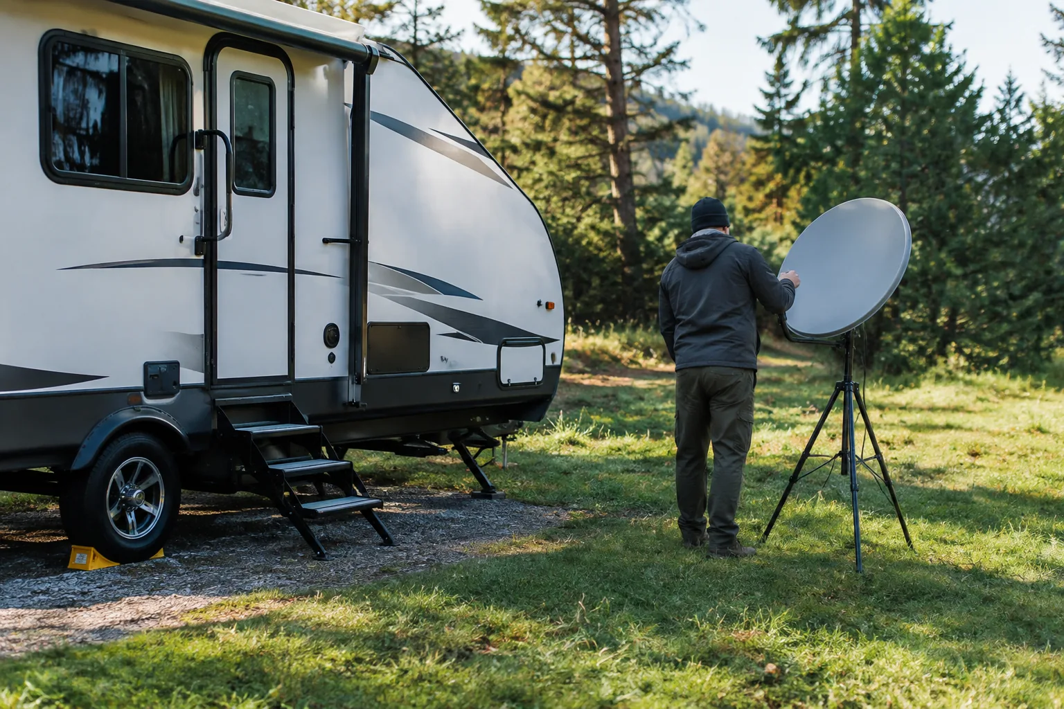
If you only need a rough direction before buying a dish, an app is enough. If you are installing, moving an RV dish or re-aiming after wind has shifted a mount, a meter gives you a reading from the cable itself. Many installers use both: the app to plan, the meter to confirm.
For radios and other field gear that suit the same outdoor setups, browse our Radios & Emergency Comms collection, or read what to check in an emergency radio.