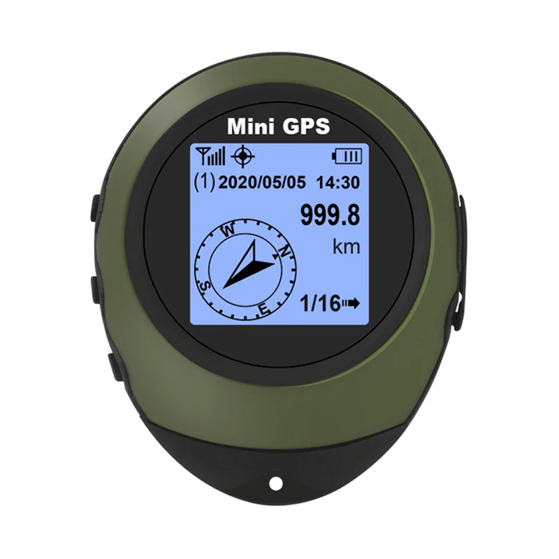
SkyTrace Nav™handheld gps
SkyTrace Nav Handheld GPS Features
Satellite Navigation
SkyTrace Nav receives signals from GPS satellites directly rather than through cell towers. It is a standalone device, so navigation does not depend on a phone or an app.
Position Readout
The screen shows your longitude, latitude, and altitude once the device has a satellite fix. You can read the coordinates and use them to mark places along a route.
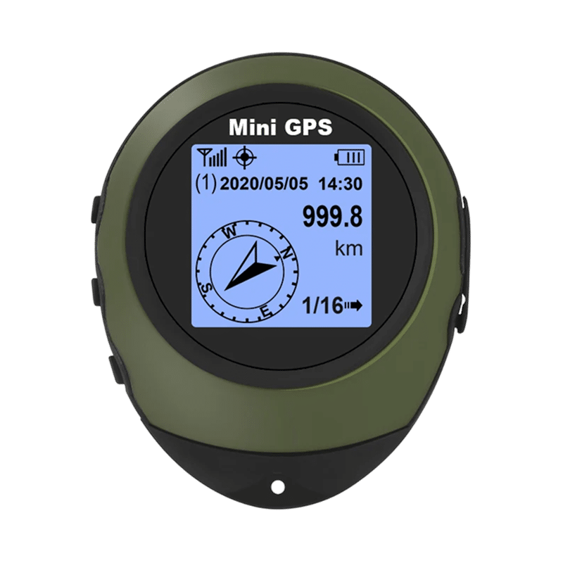
Waypoint Storage
The device holds 16 waypoints, which you can save before a trip. A three-button interface lets you set waypoints or destination coordinates and switch between saved destinations.
Clip and Power
An integrated carabiner clip attaches the device to a pack or belt loop. It is charged with the included USB cable and does not use AA batteries.
Frequently Asked Questions
Ready to make it yours?
Get SkyTrace Nav at today's price with your free gift included — and a full 90 days to enjoy it.
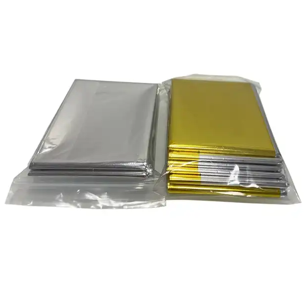 Your free gift: Free Gift - Emergency Mylar Survival Blankets (4-pack)FREE
 Tracked ShippingTracked Shipping
SkyTrace Nav: A Handheld GPS for Trail Navigation
SkyTrace Nav is a handheld GPS for hikers and campers. It locks onto satellites directly, so it works as a GPS without cell service, and it shows longitude, latitude, and altitude.
As a hiking GPS, it stores waypoints for multi-day routes, and a three-button interface lets destinations be set while wearing gloves. Think of it as a GPS with waypoints for marking campsites and trailheads, or as a GPS for geocaching.
It is a USB rechargeable GPS, so no AA batteries are involved. This handheld GPS includes an integrated carabiner clip, a USB charging cable, and a quick-start guide.
- Longitude, latitude, and altitude readout
- Waypoint storage for multi-day routes
- Integrated carabiner clip
- Real-time directional guidance